I may add to this collection of L&WV remnants in the Wilkes-Barre area at some point in 2011.
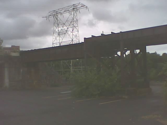
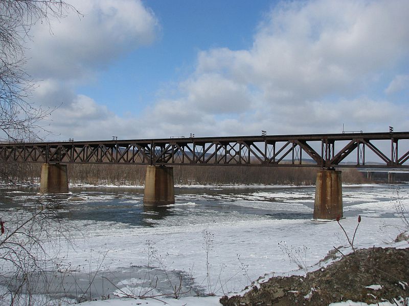
Three photos of the "Wilkes-Barre Connecting Railroad" bridge over the Susquehanna north of town, off River Street.
To my knowledge, the Laurel Line passed under the underpass area to the right of the first photo,
and this would be on the left side of the second photo (looking north).
Just to the north of this spot are two large office buildings, on the former ROW of the Laurel Line.

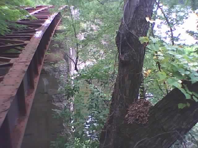
Looking towards the river crossing.
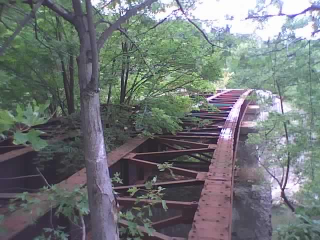
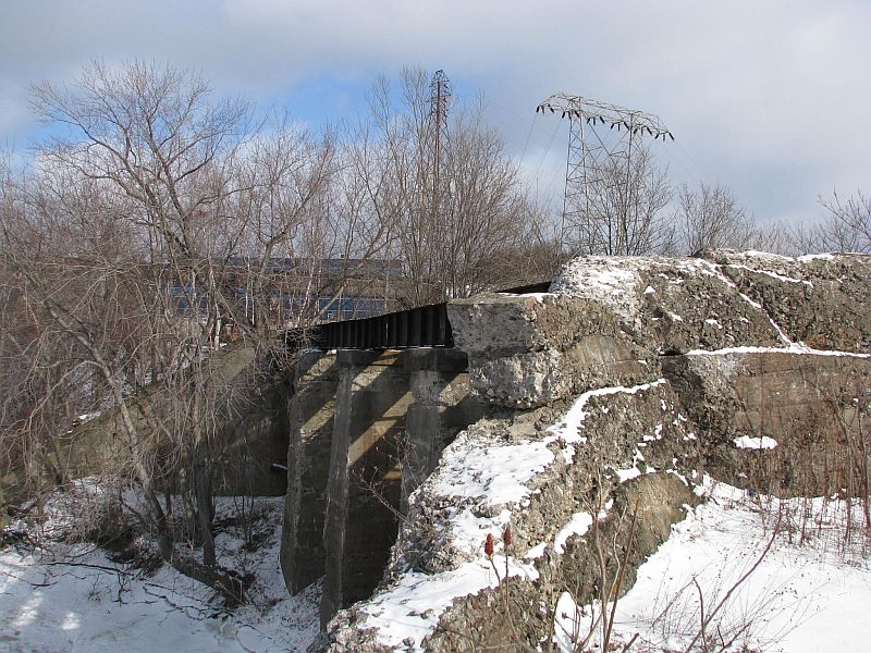
Remains of the Laurel Line bridge over Miner's Creek, just south of the W-B CR bridge.
There were two tracks here, electrified by third rail.
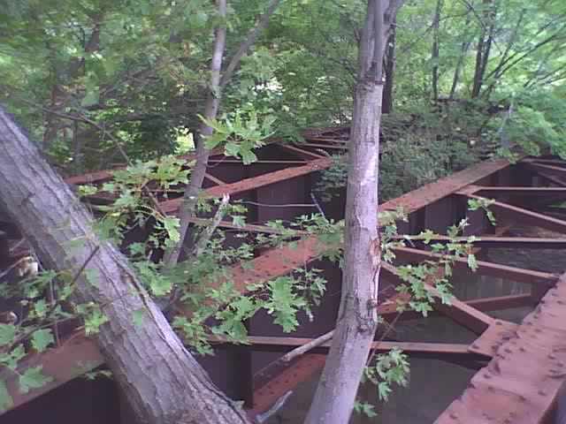
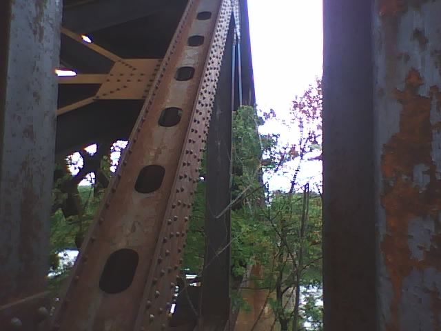
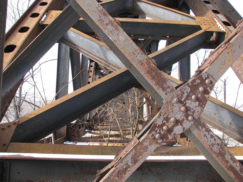
Bridge side support, leading up to main structure.

May 1959 aerial view of the railroad terminal area in Wilkes-Barre,
labeled with the (still extant) CNJ station, and showing the trackage of the Laurel Line,
which was not yet demolished then. The Lehigh Valley Depot is in the center of the two.
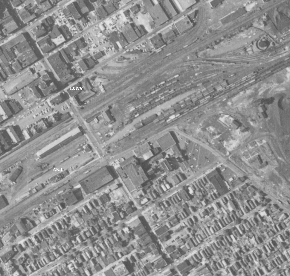
This image was zoomed and then cropped from a much larger image on the Penn Pilot Site:
Penn Pilot Photo Center
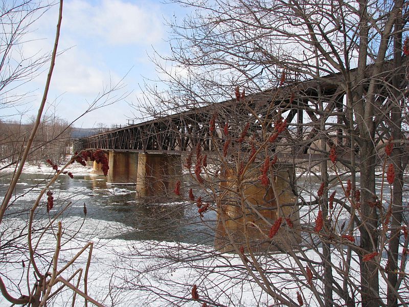
These next photos were taken with my digital camera at the same location on 12/27/10.
Wilkes-Barre Connecting Railroad bridge in winter.
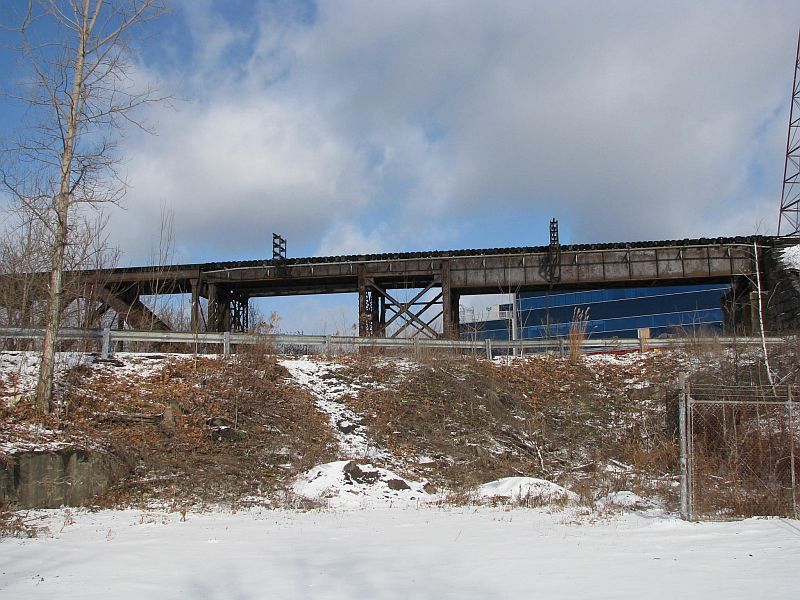
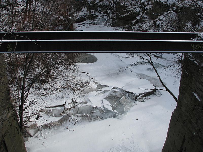
Abandoned Laurel Line bridge over Miner's creek.


A small rail structure over the frozen creek.
The cemetary with the adjacent hospital in the distance.

Laurel Line bridge.
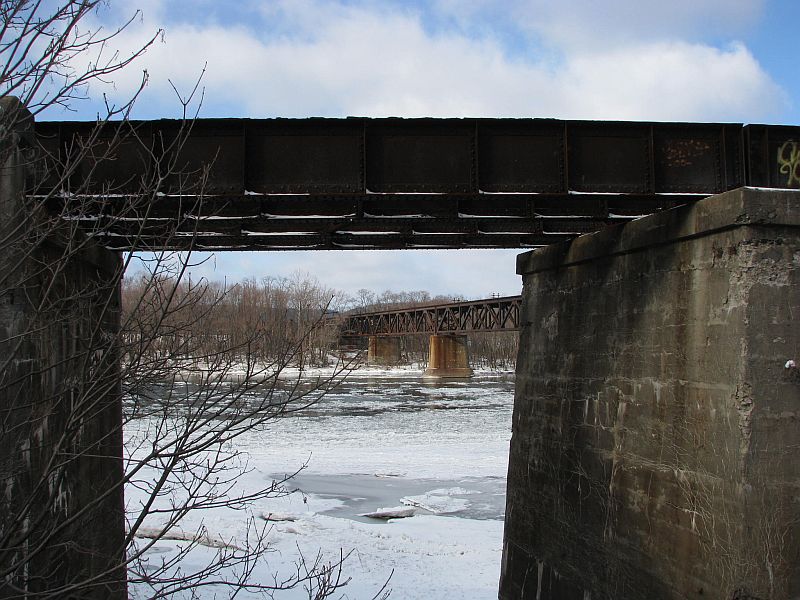
W-B Connecting RR bridge.

Please close this window to return to the previous page...